Digitized Maps – for Everyone!
The Getty Research Institute announced in its February newsletter that it has digitized a collection of maps from 1754 to 1907. The maps show before and after the Haussmann redesign. These new additions are online and you can check them out right now. They are a complete boon to researchers and the casually interested alike. Visit the Getty site to research and view these maps and lots of other resources that the Getty makes available online.
Read the Getty announcement that follows:
Getty Research Institute News, February 2018
NEW FOR RESEARCHERS
Maps of Paris
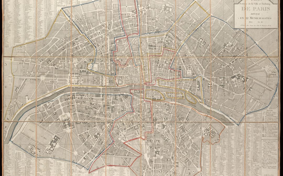
A collection of 152 maps of Paris dating from 1754 to 1907 covers the period when Paris was transformed into a modern metropolis under Napoleon Bonaparte and his nephew, Napoleon III. These maps—amassed by collector and dealer André Jammes—feature hand-colored illustrations and vignettes of famous monuments. Changes instigated by Baron Georges-Eugène Haussmann during the 1850s and 60s, such as the creation of modern water and sewer systems, the rebuilding of the Île de la Cité, and the expansion from 12 to 20 arrondissements, can be seen prominently across the maps from this time period.
This collection is also digitized and available for free online.
The Getty Research Institute
1200 Getty Center Drive, Suite 1100
Los Angeles, CA 90049-1688
www.getty.edu